Assisted Digging: Grade and Machine Control Systems Can Be Equipped to Compact Excavators

Precision. Efficiency. Speed. Safety. Four criteria that a contractor would want in almost any professional excavator operator. Unfortunately, skilled excavator operators are harder and harder to find these days. As a solution, manufacturers are engineering those high levels of production, safety and accuracy directly into the excavator. Applications such as trenching for footings, grading ditches or digging out basements might require a consistent grade, sustained slope or a precise design. Grade and machine control systems are popular technologies on dozers, graders and even skid steers and track loaders, but they can also work on excavators too — even the minis.
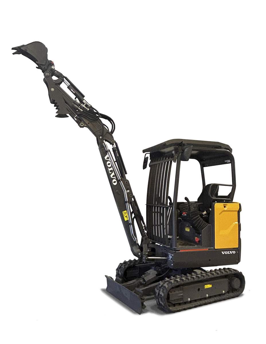
“We have put Trimble Earthworks on a 0.9-metric-ton electric excavator,” says Jon McKendry, segment manager for Trimble machine control. “There really is no limit to how small or how large grade control systems can go on an excavator — as long as it has a boom, stick and bucket.”
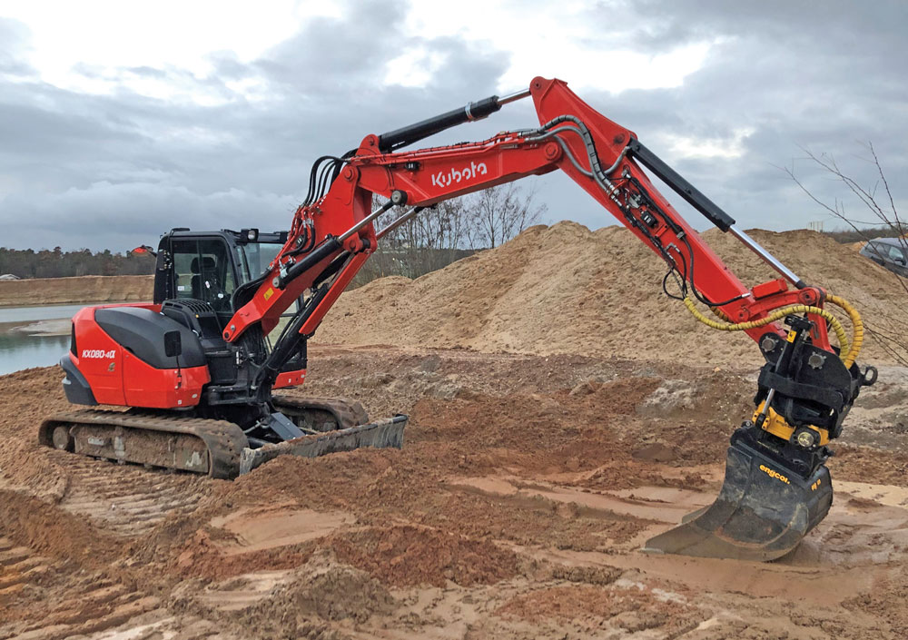
Trimble Earthworks for Excavators is Trimble’s next generation grade control platform, offering a variety of guidance options ranging from 2D depth and slope up to full 3D using office designs. Manufacturers like Trimble, Topcon, Lecia, Ocala and IDigBest produce a variety of basic and high-end grade and machine control systems for excavators of all sizes. All those big names offer aftermarket solutions, but most also work directly with the machine makers to offer integrated solutions engineered into the excavator when contractors buy it off the dealer lot. For example: John Deere works with Topcon, Case works with Leica and Kobelco works with Trimble.
1D, 2D, 3D and More
There are a variety of grade and machine control systems for excavators on the market, and typically most are 2D or 3D systems, but Case Construction Equipment offers a 1D system. The iXE1, 1D excavating system uses three inclinometer sensors mounted on the boom, stick and bucket to give desired depth and slope info. With this system, you only work with a one-direction slope. The arrows on the display will indicate whether you are too low, too high or on grade. This information is also given by means of an audible signal, while the LED screen displays the level in metric units or U.S. feet.
Getting more sophisticated, excavator owners can move up to various 2D and 3D options. These systems can work with GPS, single or dual GNSS [global navigation satellite systems] or universal total stations for guidance and correction. The main difference between these options is the external reference for guidance. When in a pure 2D system, the system is usually referencing a laser to maintain a pad or slope (i.e. a depth and slope system). The contractor sets up the laser the same way they would for a grade checker, but instead of stopping to allow someone down to check grade, they can continuously check grade. Each time the tracks move, the operator references the laser plane to maintain accuracy. The 2D system then uses strategically placed sensors to give operators a digital display of a bucket’s location and orientation.
A 2D machine control system is great for tasks such as digging a utility trench at a uniform grade over relatively short distances, excavating footings and basement areas, leveling a jobsite for subsequent construction or producing a finished slope. Because small- and mid-size contractors frequently perform these operations, the good news is they can afford basic machine control systems, which start at around $10,000 and $15,000. Then there’s 3D.
“In 3D, we are leveraging GNSS signals to position the machine in the real world and relative to a 3D design,” explains McKendry. “This means that we require some GNSS 3D infrastructure on the job, including a correction source, a 3D design and more advanced 3D components on the machine itself. For a correction source, we can use a local base station which is often the most straightforward but also the most expensive option. There are also some lower cost options like VRS in certain areas where contractors can pay for a correction stream. The 3D designs can come from the civil engineer or third-party contractors. We’ve also created some tools that allow contractors to use SketchUp to create 3D designs for machine control. On the machine, we have two GNSS receivers that maintain our heading and accuracy so that we always know where the machine is to within 0.1 ft or 3 cm. This allows for the guidance and automation of the excavator on the design. 3D designs are very powerful and can be anything from a simple pond to a complex subdivision with various designs for the utilities, over excavation, final design and more.”
Full-scale 3D systems — which can range from $50,000 to $80,000 with all the bells and whistles — do all of the above plus give operators wider spatial awareness thanks to their GPS or GNSS connection. The satellite link lets an operator know precisely where his bucket is as well as where his excavator is on a site. This big picture view is helpful on large projects where excavation activities are interconnected.
The Options and Variants
Most manufacturers will offer a variety of 2D and 3D grade control systems for excavators. From simple bucket guidance to fully automated bucket and boom movement, OEM grade control experts and machine makers have options. Caterpillar for instance offers four main systems for its excavators:
- Cat Grade with Depth and Slope: This 2D indicate-only machine control system provides operators with precise, real-time bucket positioning relative to the desired grade.
- Cat Grade with Assist: This 2D grade control system automates boom and bucket movements, significantly reducing manual input and fatigue and improving grading consistency for operators.
- Cat Grade with 3D: This factory-integrated autograde system uses GNSS satellite technology to deliver precise blade positioning and location information to the cab.
- Cat AccuGrade: This dealer-installed GPS machine technology guides an operator to grade manually (using in-cab guidance) or automatically (by controlling movements) with fewer survey stakes required.
“For Cat mini hydraulic excavators, we tend to recommend the GCS Flex system,” says Greg Worley, senior product engineer at Caterpillar. “This type of system tends to meet our machine and customers requirements very well on price and applications. This system allows our customers to complete jobs quicker and more accurately. In turn this makes them more productive, efficient and more profitable.”
3D systems come with even more options. For instance, Trimble Earthworks’ GCS900 3D systems can be used with: a single GNSS (measures the position and slope of the blade and compares that to design data for rough grading and mass excavation); dual GNSS (measures the exact position, cross slope and heading of the blade for rough grading and mass excavation); or universal total stations (extreme accuracy for lift and layer control, material monitoring or where GNSS is not the ideal solution because of overhead obstructions).
Those types of technologies are not cheap. That’s why companies like Trimble also offer economical versions like its GCSFlex (mentioned by Worley above), an affordable, easy-to-use machine control system for owner-operators and small- to mid-sized contractors who want to increase their productivity and become more competitive. The GCSFlex system uses GPS guidance but still allows users to create in-field designs in the cab and take advantage of GPS guidance in 2D mode rather than 3D.
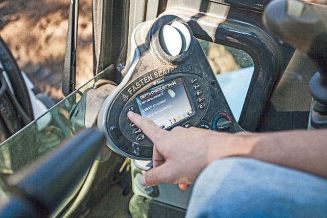
You can also find simpler solutions on the market. Bobcat Co. offers a Depth-Check system that is available for a variety of its compact excavator models. Depth-Check is a kit that utilizes three sensors — one on the trenching or grading bucket, one on the arm and one on the boom — that are connected to the deluxe instrument panel inside the cab to track the precise location of the bucket teeth as the bucket, boom and arm move. The system can be calibrated to a specific machine and its corresponding attachments — up to five buckets — using the excavator’s boom and arm length, as well as a bucket tooth radius.

“Ultimately, the depth check system is used where contractors need to stay at a consistent grade or provide a sustained slope,” explains Jason Boerger, marketing manager at Bobcat. “The depth check system has an accuracy of ± 0.5 in. which helps to minimize over digging and under digging and the costs and time associated with backfilling, compacting fill material and manual labor to final depth or grade. Unlike other systems, the Bobcat Depth-Check system integrates with the Bobcat deluxe instrument panel. This offers simple operation and eliminates the need for an add-on display monitor inside the cab. On larger jobsites, an optional laser receiver offers operators greater flexibility to move around, benching off of a laser signal rather than a fixed grade point. It’s compatible with optional CR600 and BLR 2 laser receivers.”
What Buckets Can You Use?
Jon McKendry, Segment Managerfor Trimble Machine Control
Trimble Earthworks can be used with standard buckets, tilting buckets and tiltrotators. Tiltrotators are growing in popularity here in the United States and have been extremely popular in Europe for a few decades. They allow the bucket to rotate 360 degrees and tilt side to side at the same time, making the machine extremely versatile. When tiltrotators are used with Trimble Earthworks for Excavators, the bucket position and orientation are always visible, regardless of bucket rotation. The operator can see the height and the rotation relative to the design, so the attachment can be more efficient. Trimble Earthworks can also automate the tilt functions of a tiltrotator to enable operators of all skill levels to be significantly more productive when using these attachments.
Check out more excavator info here.


